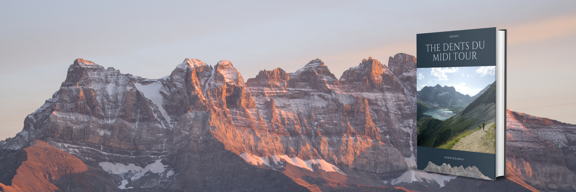
Digital Topo-guide to the Tour des Dents-du-Midi
This digital topo-guide, costing €10, aims to help you best prepare for your Tour of the Dents du Midi without the hassle of a paper guide. It contains:
- Complete information on the tour’s accommodations.
- All the information you need to properly prepare for the hike (equipment, cabin regulations, bivouac and camping information, important information for hiking with your dog, etc.).
- Detailed descriptions of all official stages of the tour (maps, distances, elevation changes, walking times, and numerous photos).
- Detailed descriptions of all the tour’s variations (Haute Cime, Refuge des Dents du Midi, Dent de Valerette, Tête de Chalin, Lac de Soi, Aiguille de Mex).
- A section to help you assess your level and choose a suitable route (with or without variations) over 2, 3, 4, or 5 days.
- A small, double-sided booklet to print with the tour map, key stage data, and important contact numbers.
- A folder containing all the GPX and KML files for the stages and variations of the tour.
To purchase the digital guidebook, you must provide your email address and a payment method (PayPal or credit card). You will then receive an email with a download link allowing you to retrieve all the files (the guidebook, the booklet, the GPX tracks).
Topographic maps
Recommended card:
From Lake Geneva to the Dents-du-Midi, 1:25,000 – Chablais in Valais
You will find it in some lodgings or directly at Editions MPA
Other maps :
- Val-d’Illiez, 1 : 25’000, no 1304
- Barberine, 1 : 25’000, no 1324 (useful only towards the Salanfe dam and lower)
These cards are available at most bookstores and at some local newsstands.
Mobile applications
SwissMobile
Mobile AppsThe free SwitzerlandMobile app is the perfect companion for anyone who enjoys being outdoors, whether in summer or winter. The SwitzerlandMobile app lets you discover the most beautiful official routes and experience Switzerland in all its facets.
Swisstopo
The free swisstopo map app combines Switzerland’s national maps with many other topics, such as hiking, cycling, snow sports, and aviation. The app is characterized by its ease of use, route planning and recording, and panoramic landscape exploration.
Meet us on socials networks